Shape Communities. Grow Your Career.
We know that building great communities starts with teams made up of great people. If you’re exploring ways to collaborate and make an impact, join us.
Explore Career Opportunities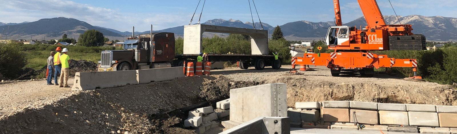
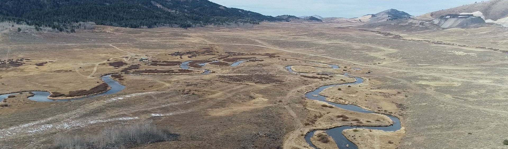
The Eighteenmile Creek Culvert Replacement project removed a fish passage barrier on Lower Eighteenmile Creek near State Highway 29 in Lemhi County, Idaho. It replaced an undersized 24-inch diameter culvert with a bridge structure designed to restore natural stream function and improve fish access to upstream habitat. Located near the confluence of Eighteenmile Creek and Texas Creek, the project addressed both transportation and fish passage needs.
Prior to the project, Eighteenmile Creek passed beneath the highway through a small-diameter culvert that was vulnerable to plugging by willows, wood, and other debris moving through the drainage. When the culvert became obstructed, water would back up and overtop the highway. Even when the crossing remained open, the hydraulic conditions through the culverts produced velocities that limited upstream passage for fish. The result was a crossing that functioned adequately as a minor drainage feature under low-flow conditions, but not as a resilient stream crossing or a reliable aquatic organism passage facility.
Eighteenmile Creek and associated tributary habitat support important spawning and rearing areas for salmon, steelhead, and bull trout. By replacing the barrier crossing with a larger, open-bottom structure and a stream-simulation channel, the project improved connectivity to approximately 10 miles of upstream habitat. It also provided roadway improvements needed to maintain highway service during high-flow events.
Survey
Hydraulic analysis
Channel design
Fish passage design
Culvert replacement
Bridge design
Highway design
The defining engineering challenge was the project’s location at the confluence of two drainages. At lower flows, Eighteenmile Creek and the adjacent Texas Creek behaved as separate systems with separate crossings. However, at higher flows, water from Texas Creek could spill into the Eighteenmile Creek floodplain upstream of the highway, requiring the new crossing to accommodate a share of flow from both channels. This interaction created a broader and more dynamic hydraulic environment than a typical single-channel culvert replacement.
To address these conditions, the design team developed a two-dimensional hydraulic model that reflected the confluence behavior, floodplain connectivity, and changing distribution of flow between the two drainages. The analysis informed the geometry and elevation of the replacement structure, the stream channel configuration through the crossing, and the roadway improvements.
Early project concepts considered spanning a much larger portion of the floodplain. While that approach would have provided more hydraulic capacity and overbank habitat, it was not cost-effective for the site and did not provide a proportional ecological return. The final design used a bridge replacement approach with a precast three-sided bridge structure. This solution provided a wider, more natural channel opening while controlling cost, minimizing the in-water construction duration, and reducing the risk associated with in-water work.
To accomplish the wide range of project objectives, the team selected a three-sided structure that allowed the reconstructed streambed to remain open beneath the crossing rather than forcing flow through a confined pipe. This approach supported natural stream simulation, improved roughness and depth variability, and reduced the excessive velocities that had contributed to the fish barrier. The design also allowed the project team to remove the existing culvert, construct foundations, rebuild the streambed, set the precast structure, and reconstruct the highway within a limited in-water work window.
Construction sequencing was central to this project because fish passage and stream restoration projects in this region often must be completed within a short in-water work window of approximately 6 weeks during the summer months. The use of precast components eliminated the need for cast-in-place construction and helped keep the project within the allowable work period. This shortened the duration of the highway closure, limited disturbance to the stream, and enabled efficient restoration of the stream channel.
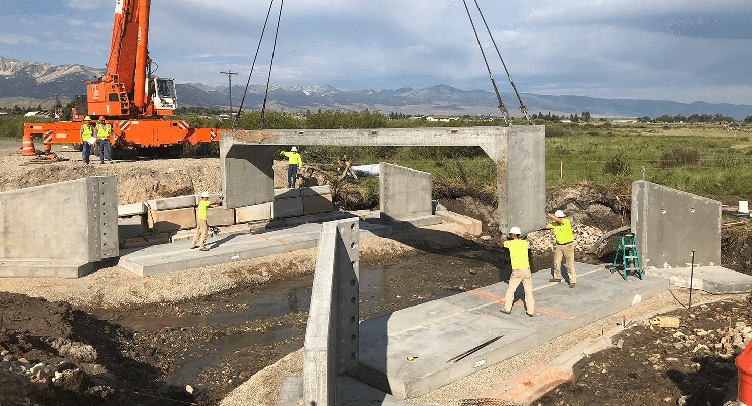
The structural design treated the replacement crossing as both a transportation asset and a habitat improvement. The precast three-sided bridge needed foundations that could support highway loads while preserving an open-channel bottom, meet requirements for grade, safety, durability, drainage, and constructability, and still advance the project’s fish passage goals.
Idaho Fish and Game’s primary concern was restoring fish passage and improving stream conditions, while the Idaho Transportation Department’s primary responsibility was maintaining the highway asset and protecting public safety. The project, therefore, required a design process that treated the creek and the highway as interdependent systems rather than separate pieces of infrastructure.
In many transportation projects, roadway requirements drive the design, while environmental considerations are integrated as constraints. However, at Eighteenmile Creek, the environmental objective—removing a fish passage barrier and reconnecting habitat—was the primary driver, and the roadway improvements were designed to support that outcome. This required careful communication, documentation, and alignment among all stakeholders so all requirements from both agencies could be resolved in a single constructible package.
The Eighteenmile Creek Culvert Replacement illustrates how fish passage often depends on more than simply enlarging a crossing. The project required understanding watershed-scale habitat objectives, modeling complex flow interactions near a confluence, selecting a structure that was built within a narrow construction window, and integrating highway standards with stream restoration goals. The result is infrastructure that performs for both the traveling public and the aquatic species that depend on connected habitat.
Learn more about this and other projects

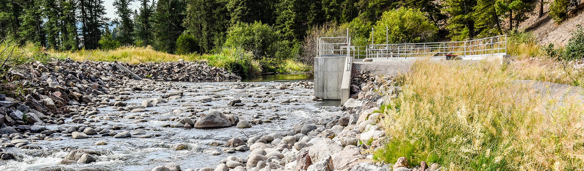
Allendale Canal and Fish Screen is part of the Flint Creek Water Project, owned by the Montana Department of Resources and Conservation (DNRC) and operated by the Flint Creek Water Users Association.
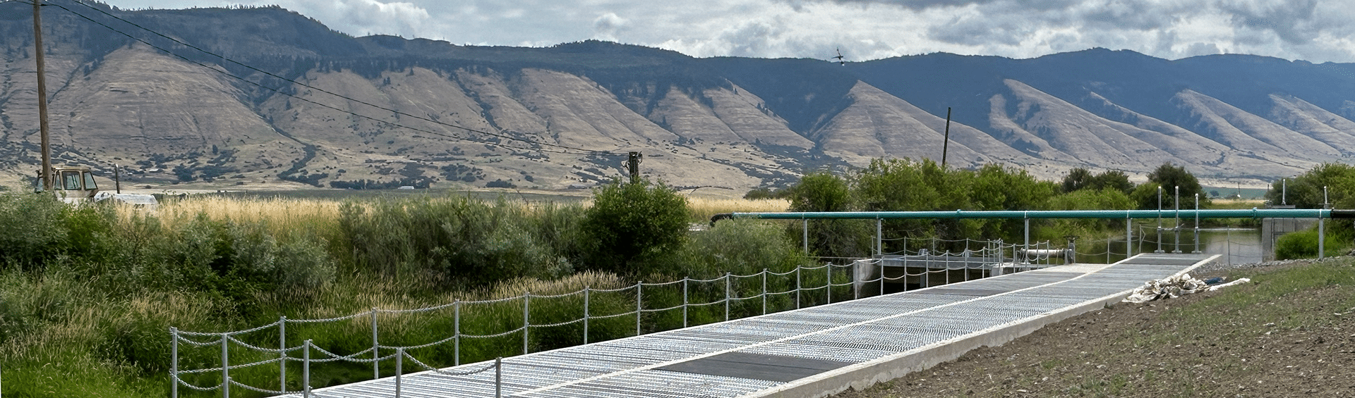
Located near La Grande, Oregon, the Elmer Dam Fish Passage project helps reconnect fish habitat in upper Catherine Creek while supporting the irrigation needs of a working agricultural property.
Morrison-Maierle led a collaborative, multi-phase fish habitat restoration on Idaho's Blackfoot River, rebuilding cutthroat trout habitat.
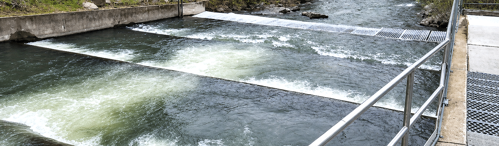
Catherine Creek Fish Passage project supports the Confederated Tribes of the Umatilla Indian Reservation’s fish trap operations.

We know that building great communities starts with teams made up of great people. If you’re exploring ways to collaborate and make an impact, join us.
Explore Career Opportunities