Underwater Surveys for Specialized Projects

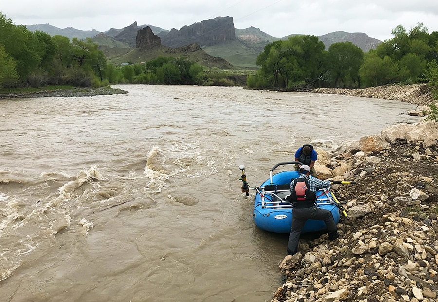
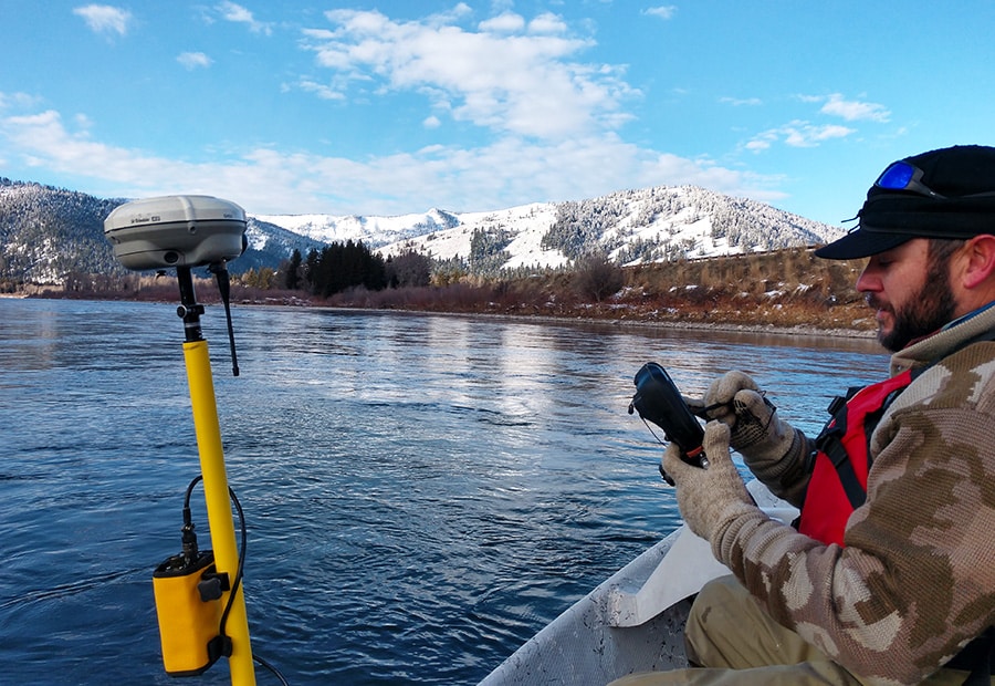
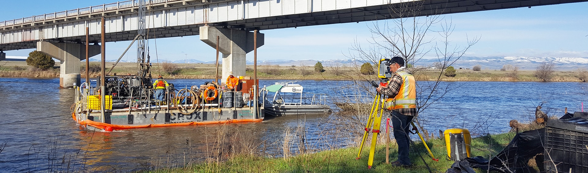
Hydrographic surveys map river, stream, and lake bathymetry to determine the physical features of an underwater area. Like land surveys, our team uses special equipment to measure and define a body of water to support various engineering design projects.

We often use hydrographic and hydraulic surveys in conjunction with our bridge and transportation design and natural resources engineering work to locate all structure data such as water surface elevations, sewage levels, flow lines, and in preparation for transportation structures such as bridges and roadways.

Our utility mapping services approach hydrographic surveying as a highly specialized and strategic professional engineering service. We know your project has unique problems and characteristics that can be handled through a suitable application of professional experience, technology, and local knowledge.

With more than 120 cumulative years of hydrographic survey experience, our staff has the training and technology to provide up-to-date deliverables and data for your next project.


Building Better Communities Together

Become a Client

Need assistance with a project? Partner with us to see what new opportunities we can create.

Let's Talk

Build Your Career

If you thrive on work that has a broader purpose, you’ve come to the right place.

Join Our Team