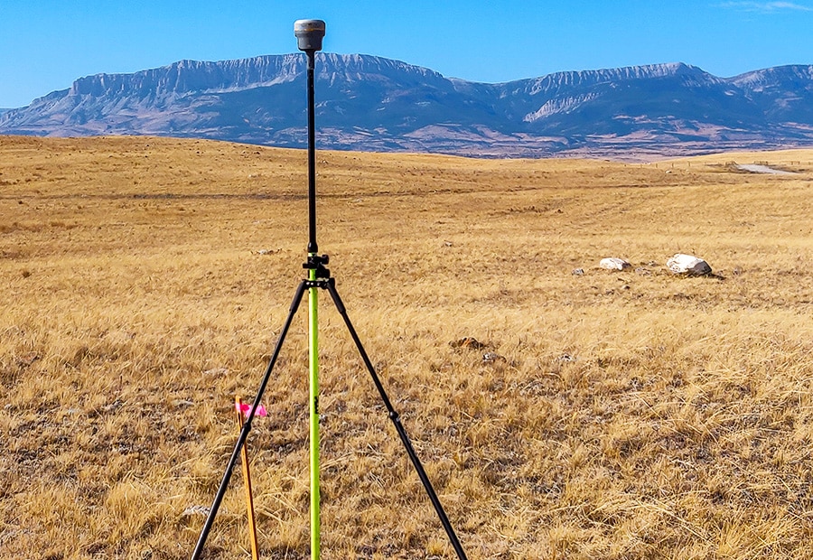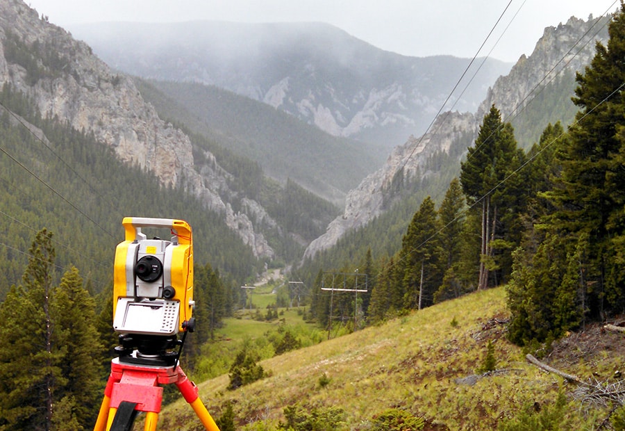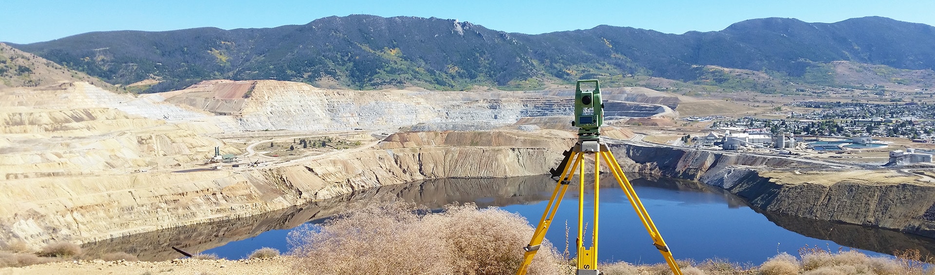
Technology has changed the way we do just about everything. Surveying is no exception, and we have realized the importance of keeping our survey teams equipped and trained with the latest technology available for geodetic control survey applications. Our technology includes GPS/GNSS, robotic total stations, and digital leveling. Survey control provides the foundation that other engineering design surveys, construction layouts, and as-built surveys rely on.
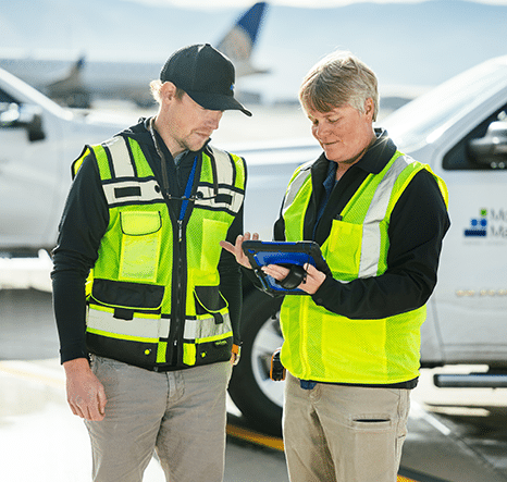
Our survey team routinely provides survey control to support our airports, transportation, water-wastewater, natural resources, buildings, and industrial engineering projects. Each of these project areas has its requirements for control survey data which we use to provide you with the skills to help with your next project.
We extend our control survey capabilities to aerial mapping firms throughout the northwest region to support airborne LiDAR and photogrammetry calibration and checkpoint ground control.
Our highly trained team is also OPUS Projects Certified and experienced with the NGS blue-book procedures for horizontal and vertical control surveys.
From FEMA floodplain mapping projects to electrical transmission line as-built and assessment mapping, we have the expertise in a wide variety of projects to provide accurate control survey services to your project specifications.