Water Management
How to Mitigate Flooding After Wildfires
Infrastructure can now be designed to help withstand post-fire floods and debris flow
This year’s low snowpack in the northwestern region is—not surprisingly—raising concerns among farmers, water system operators, and forest managers. Not only are they worried about the dry conditions that lead to wildfires, but if precipitation occurs in a burned area, there may be an increased risk of post-fire flooding and debris flows.
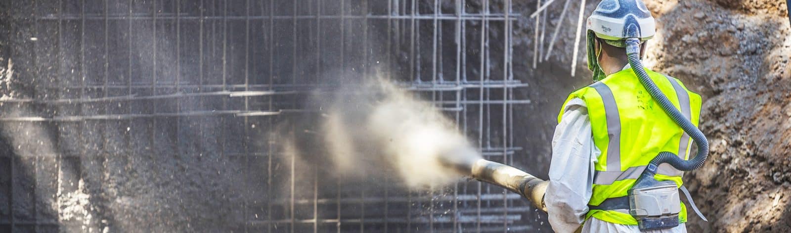
After several years of record fire seasons, new tools are now available to help design culverts, bridges, diversions, and other infrastructure at risk from flooding after wildfires.
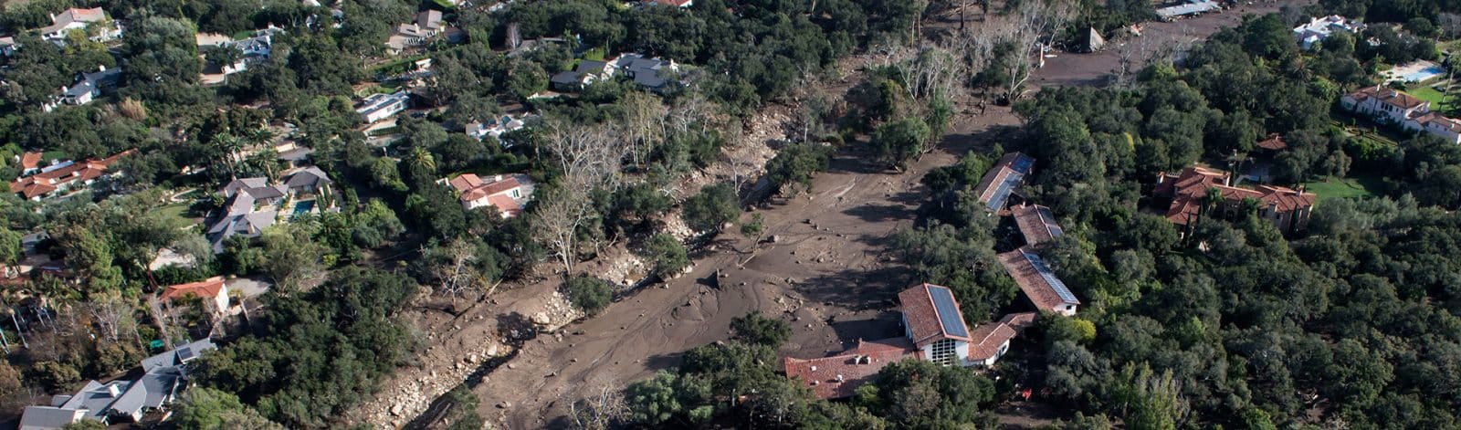
Rural areas and communities in Montana, Wyoming, Oregon, and Washington are experiencing an influx of population, which puts the wildland-urban interface at risk. Due to this risk, public safety officials are increasingly concerned about post-fire flood risks, such as the damage and tragedy caused by the Montecito debris flows of 2018. The debris flows started in the nearby Thomas Fire, which ignited in December 2017. While the fire was still burning, heavy rain fell on the burned hill slopes above Montecito, resulting in debris flows that caused catastrophic damage
along the nearby creeks.
New Capabilities Now Available
After this flood, I was part of a team that analyzed hydrologic conditions in the burned watersheds of both creeks. Our team modeled the inundation patterns of potential future debris flows and calibrated our models to data collected in the field by USGS. These models allowed us to develop conceptual designs for measures to mitigate risk to the public. Our modeling work relied on new approaches and capabilities developed by the talented staff of the US Army Corps of Engineers’ Hydrologic Engineering Center (HEC) and Engineer Research and Development Center (ERDC). These new capabilities are now standard in HEC’s Hydrologic Modeling System (HEC-HMS) and River Analysis System (HEC-RAS).
The Montecito debris flow project I worked on with HEC’s team and others was a validation case of the new modeling capabilities. The article we published in Geosciences in 2023 describes the validation case. The article also explores how the new tools can more accurately capture the flooding and debris runout following a tailings dam failure, such as the Brumadinho tailings dam failure in Brazil in 2019.
The Montecito debris flow project was a validation case of the new modeling capabilities that are now standard in HEC's Hydrologic Modeling System (HEC-HMS) and River Analysis System (HEC-RAS). The article published in Geosciences in 2023 describes how the new tools can more accurately capture the flooding and debris runout following a tailings dam failure, such as the Brumadinho tailings dam failure shown in this video.
Small- and Large-Scale Applications
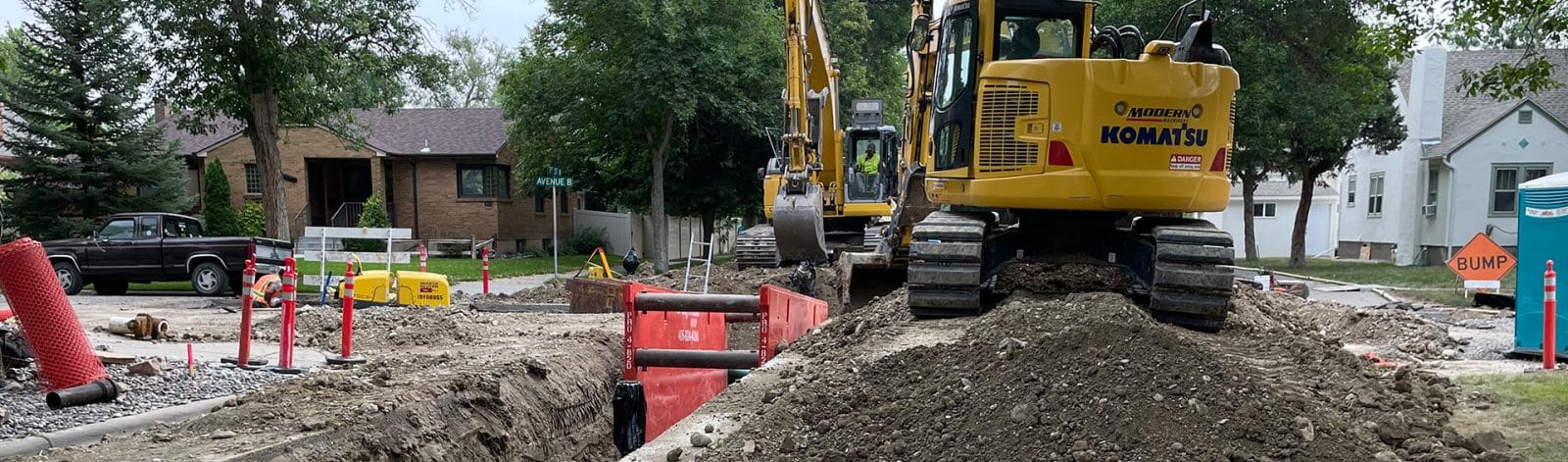
Post-fire flooding tools can be applied to individual structures and larger-scale applications. For example, Morrison-Maierle used them recently to redesign an irrigation diversion and intake for Harlow Ranch, located directly below an area that burned in 2021.
Harlow Ranch relies on an outdated wooden diversion structure for all its irrigation and domestic water supply. In 2021, the Thorne Creek Fire burned the entire watershed above the structure, threatening the structure with the potential of post-fire flooding and debris flows. In replacing the diversion structure, several stakeholders, including the Lower Clark Fork Watershed Group and Montana Fish, Wildlife, and Parks, wanted the structure to remain a partial fish passage barrier to discourage the migration of hybridized westslope cutthroat trout.
In this project, we collected necessary field data, completed 2D hydraulic modeling, and analyzed post-wildfire debris deposition patterns around the diversion. With this design, we used HEC-RAS to model and analyze a new structure design that maintains water delivery to Harlow Ranch, protects native fish habitat, improves resiliency to post-wildfire debris, gives operators a better ability to manage water, and adds safety features.
Our design also considered year-round operation in below-freezing conditions, the need for sediment flushing, and the new diversion’s place in the ranch’s more extensive water delivery system. The design details included perforated plate screens, new headgates, a propeller-type flow meter, and pipeline air valves. Construction should start in fall 2024.
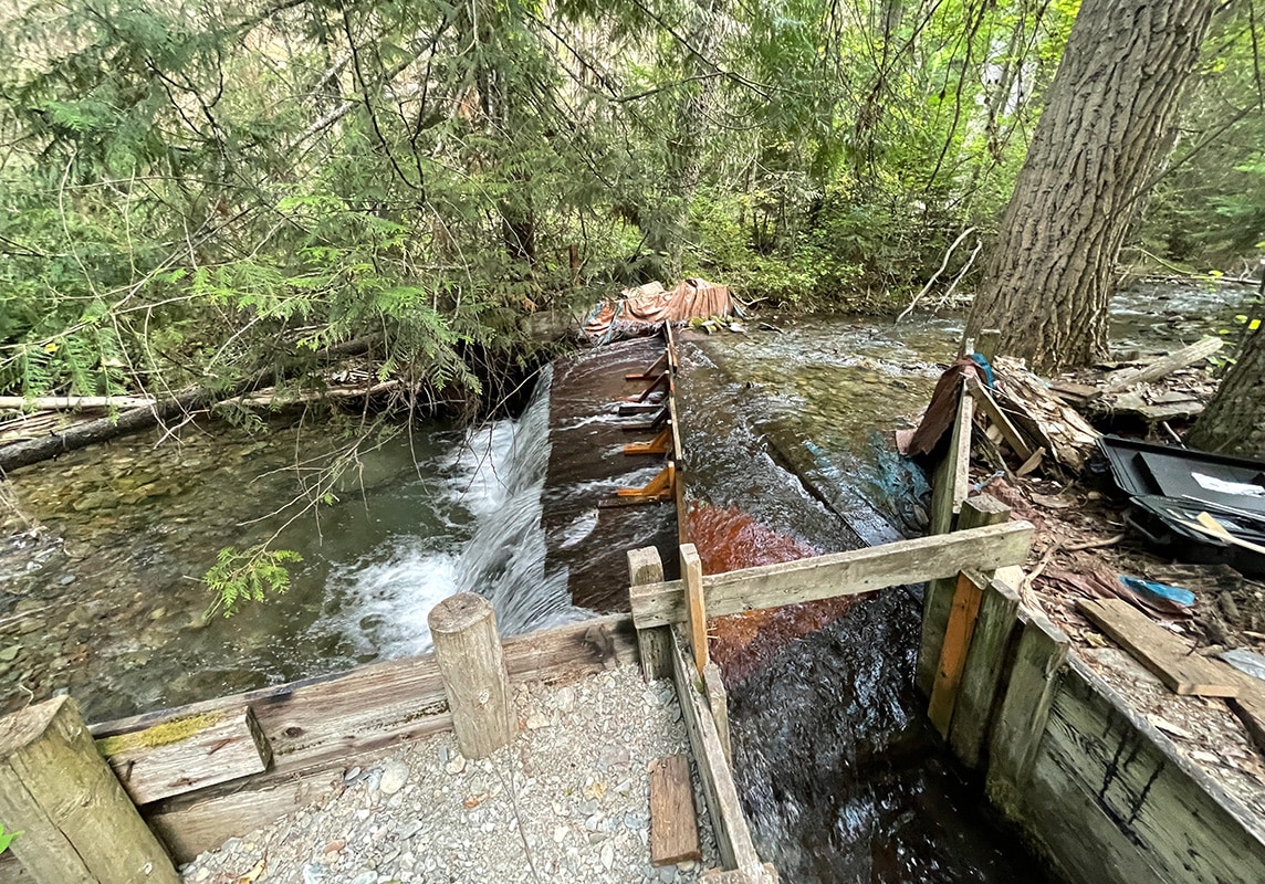
Harlow Ranch relies on an outdated wooden diversion structure for all its irrigation and domestic water supply. In 2021, the Thorne Creek Fire burned the entire watershed above the structure, threatening the structure with the potential of post-fire flooding and debris flows.
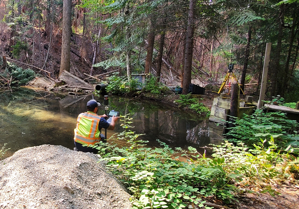
Morrison-Maierle collected necessary field data at the Harlow Ranch site, completed 2D hydraulic modeling, and analyzed post-wildfire debris deposition patterns around the diversion.
Helpful Resources and Articles
We owe thanks to the federal, state, and local agencies constantly working to prepare for and respond to emergencies. These dedicated professionals are on the front lines of keeping our communities safe from wildfires and flooding.
Wildfires and the associated hazards show no signs of slowing down, as seen in the flooding in Ruidoso, New Mexico, but we can do some things to prepare. Considering the impact of wildfires on our drainage and flood control infrastructure is one way to help protect our communities from disastrous events.
Thanks to the US Geological Survey (USGS), US Army Corps of Engineers (USACE), and others for providing the following free resources:
Resources and Guides
- USGS – Emergency Assessment of Post-Fire Debris-Flow Hazards
- USGS – Postfire Debris Flow Hazards: Tips to Keep You Safe
- USACE – Hydrologic Engineering Center
Articles
- PNAS – The changing risk and burden of wildfire in the United States
- GeoScienceWorld – Inundation, flow dynamics, and damage in the 9 January 2018 Montecito debris-flow event: Opportunities and challenges for post-wildfire risk assessment
- Geosciences – Prototype Scale Evaluation of Non-Newtonian Algorithms in HEC-RAS: Mud and Debris Flow Case Studies of Santa Barbara and Brumadinho
If you have questions about this capability, please contact me directly. I’m always happy to discuss your circumstances and learn more about how we can help design a solution tailored to your needs.
Get in touch with NikAbout The Author

Nik Ortman, PE, is a water resources engineer in Morrison-Maierle's Missoula office.
Learn more about Nik