Water Management
Water Resource Toolbox: 9 Water Resource Websites
By Trystin Moran and Andrea Price
As water resources engineers, our work is heavily influenced by the natural world. Accordingly, we frequently use our water resource toolbox: publicly available data and tools to design, permit, and construct our projects in irrigation, stream restoration, bridge design, flood mapping, and more.
These databases are also helpful for conservation districts, non-profits in conservation and land use planning, government authorities, landowners, and river recreationalists.
Here’s a list of the online tools we’ve found useful for our work in and around Montana. Many websites listed below are equally helpful in other states, including Washington, Oregon, Idaho, Wyoming, and more. These tools are our first stop when we’re getting preliminary information about the natural resources of a project area.
Google Earth
Google Earth is a digital tool that lets you explore a detailed, 3D map of the Earth using satellite imagery, allowing you to view landscapes, cities, and even historical changes over time. On many projects, our first step is to explore the site on Google Earth.
Google Earth imagery is often the highest-resolution image that is publicly available, so we may download screenshots of our site and use them as the base for a map or a plan-view drawing. In addition, we sometimes export a quick map from Google Earth—when there’s no need to add additional information or analysis, this can be the most efficient way to create a figure.
Google Earth also has a couple of great features for stream restoration. Using historical imagery from the last 40 years, you can track the migration of a stream by flipping through older map imagery and tracing polygons around the stream as it appears in each image. You can then use this information to predict how the stream will move.
Another important step in designing a restored stream channel is characterizing the slope of a stream and the shape of its valley. For this, Google Earth can generate a rough elevation profile of a river, a valley cross-section, or any other path you draw.
When should I use this tool?
Communicating with the public, preliminary site assessments, and interagency communication.
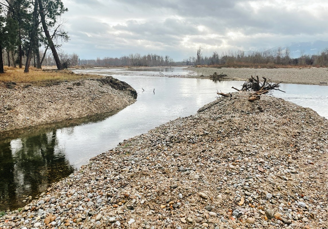
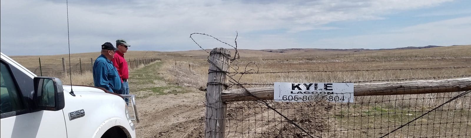
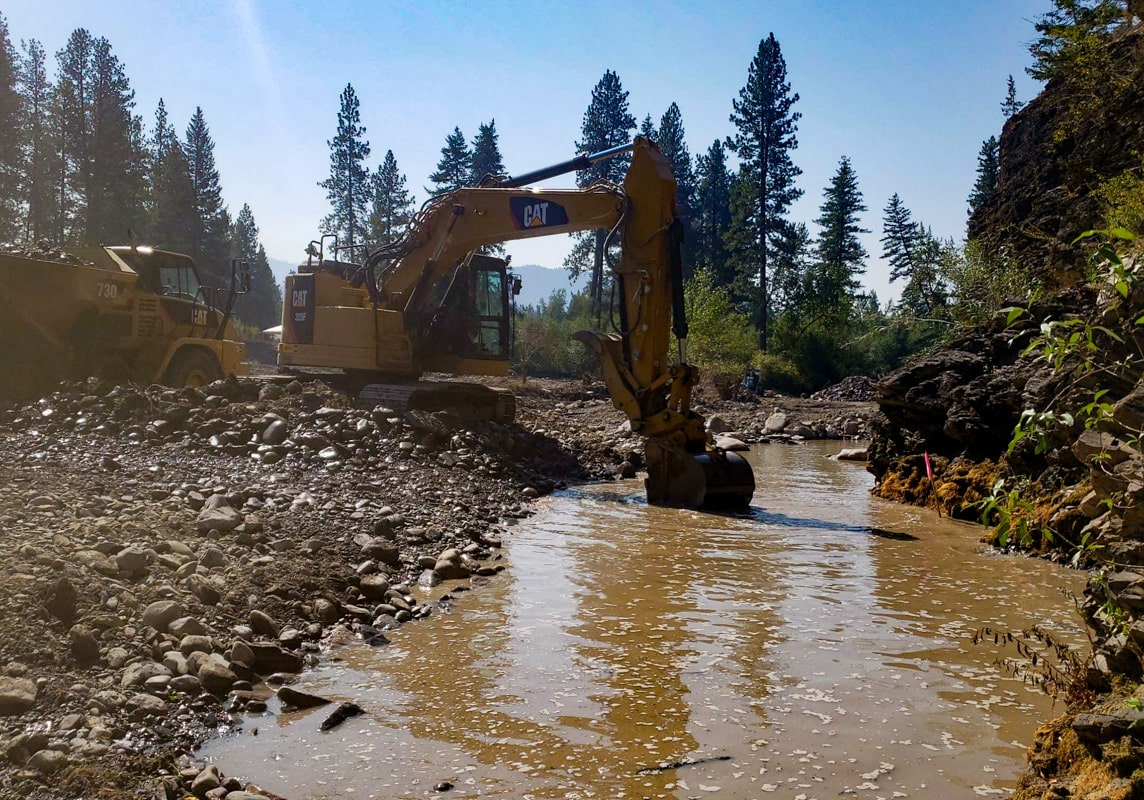
During the Bitterroot River Irrigation Management Study, we used Google Earth to locate diversions along the river.
Montana Cadastral
Montana Cadastral is an online platform that provides detailed property maps and information for the state of Montana, allowing users to explore land ownership, boundaries, and related data. Cadastral is our go-to resource for spatial information about land parcels in Montana.
For example, we may have a property owner interested in restoration work on their property, and Cadastral can tell us the geographic extent of the project. Conservation work is most effective when connected to greater conservation efforts on the landscape. Cadastral is a good way to identify if there are additional public lands nearby that a project can connect to.
We also work on irrigation systems that pass through many properties. Landowner outreach is an important element of this type of project, and Cadastral helps us get in touch with the right people.
Cadastral also provides Public Land Survey System (PLSS) locations and geocodes quickly to facilitate searching other state databases, such as the Department of Natural Resources and Conservation’s (DNRC) Water Rights Query System.
When should I use this tool?
Project scoping, communicating with stakeholders, and initial surveying.
During the Bitterroot River Irrigation Management Study, we performed infrastructure assessments on water diversion points along the river that influence users downstream.
USGS Stream Gage Network
The Stream Gage Network is a system of over 11,000 monitoring stations established by the United States Geological Survey (USGS) to measure and record water levels and streamflow in rivers and streams across the country. These gages provide crucial data for assessing water resources, managing floods, and understanding the dynamics of river systems.
This website gives us real-time water levels and context for current conditions by providing historical flow information, including over 130 years of data in some locations. This data set contains the highest streamflow from each year, and we use that to predict the likelihood of floods of different magnitudes. We then use those predictions when designing infrastructure. For example, bridges are often designed to withstand a 100-year flood event.
When should I use this tool?
Coordinating any instream work (e.g., surveying or construction), identifying hydrology trends over time, or planning a weekend river trip.
USGS StreamStats
StreamStats is a web-based application that calculates streamflow statistics and analyzes watersheds. It estimates peak stream flows, delineates drainage areas, and generates a report on drainage basin characteristics. Using StreamStats, we can access a wide range of hydrologic data.
As engineers, we primarily use it for estimating streamflow statistics, such as peak flows, low flows, and flood frequencies. Streamflow and watershed characteristics are crucial when designing and managing water-related infrastructure projects, including bridges, culverts, dams, and floodplain mapping.
Unfortunately, StreamStats is not available in some areas, such as Alaska and Michigan. In these unavailable locations you can perform many StreamStats functions yourself. To delineate a watershed, you can download a digital elevation model (DEM) of your area of interest from your state LiDAR inventory (Montana’s is here) and run Q GIS’s terrain analysis tools. You can also calculate peak stream flows using data from USGS stream gages.
When should I use this tool?
Water resource management, designing water-related infrastructure, assessing flood risks, and conducting research.
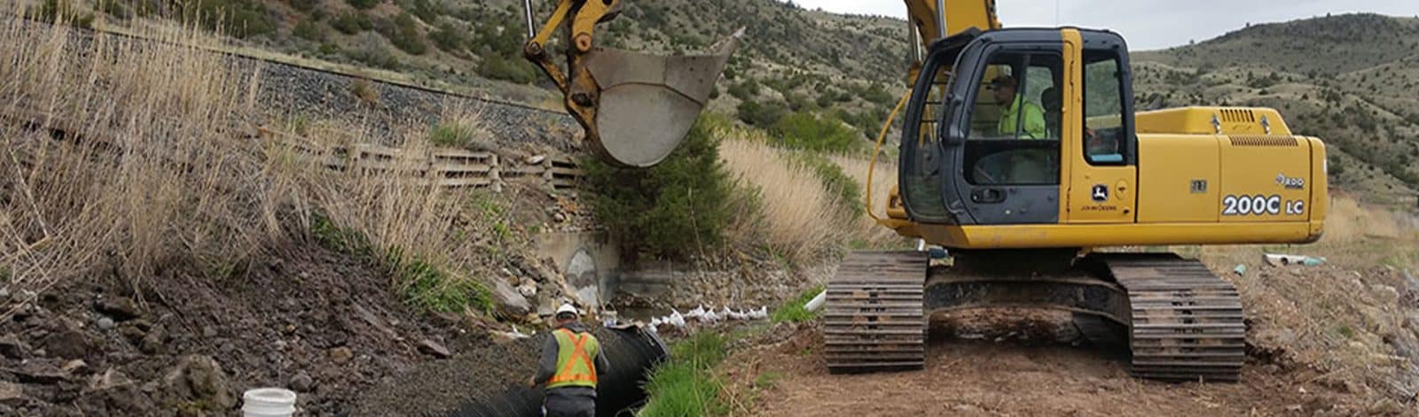
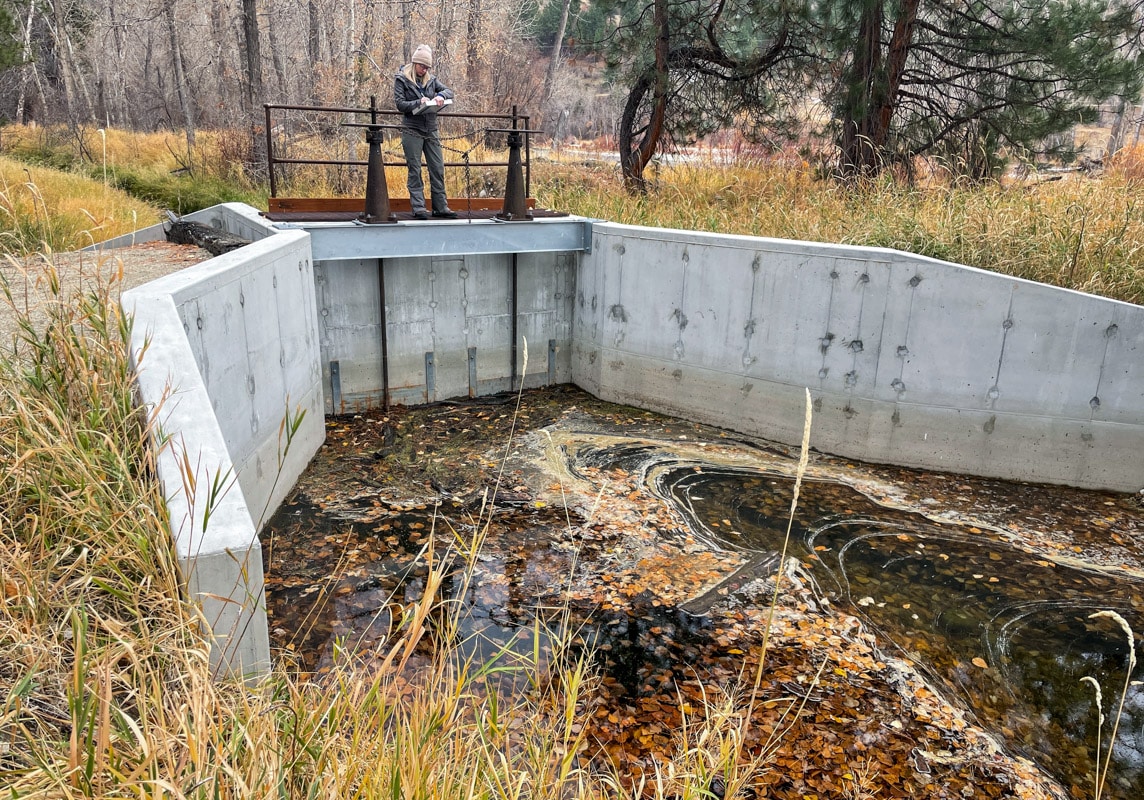
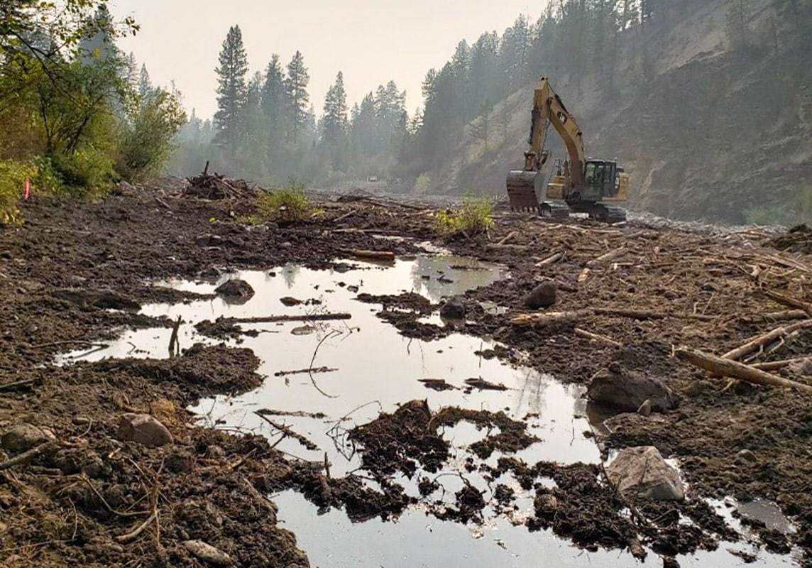
The Big Hole Watershed Committee’s Upper French Gulch Fish Passage Project reconnected 1.7 miles of habitat for Westslope Cutthroat Trout and Arctic Grayling. We used StreamStats while designing this project to predict stream flows
FEMA Flood Maps
FEMA flood maps, created by the Federal Emergency Management Agency, show areas at risk of flooding in different communities. These maps predict which areas will be impacted during major (100-year and 500-year) flood events. They help people understand flood hazards, guide land-use planning, and inform insurance rates to promote better preparation and resilience against potential flooding.
We often refer to these maps when applying for permits to construct projects in or near a body of water. We need to understand if our construction projects will impact how water moves during a flood to ensure we won’t increase the risk to people or property.
When should I use this tool?
Designing infrastructure near waterways, permitting, or when purchasing a property.
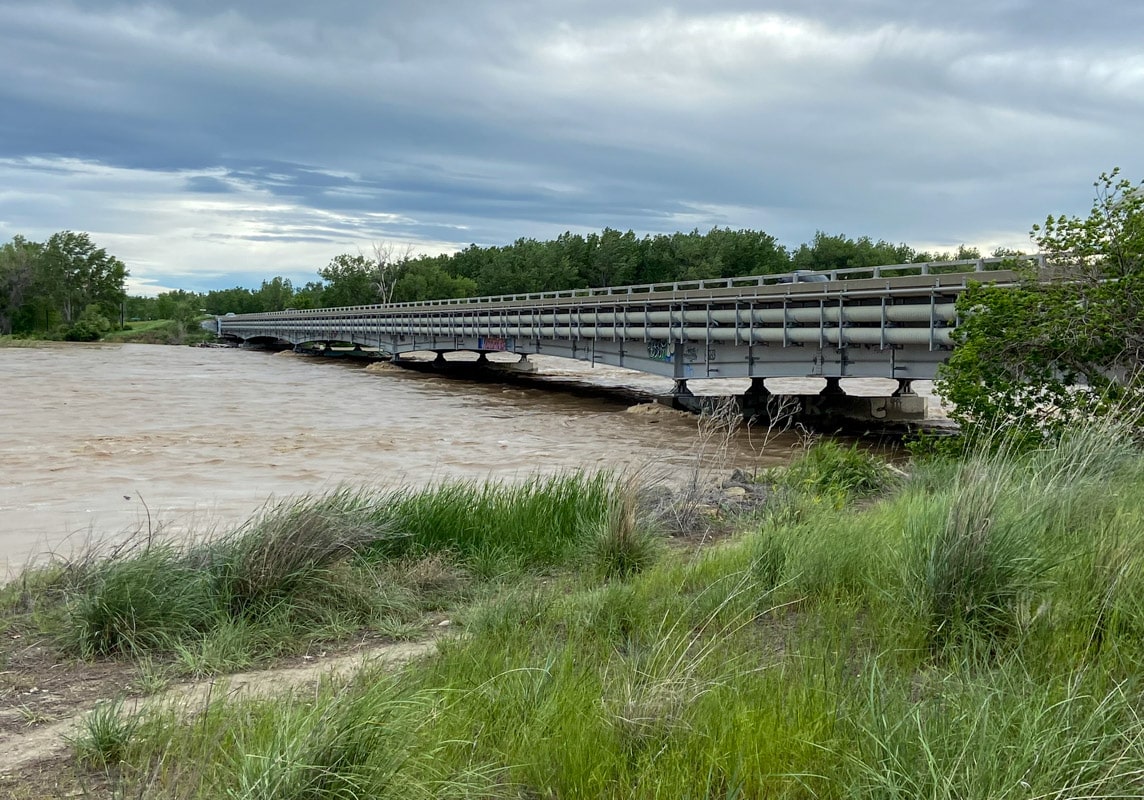
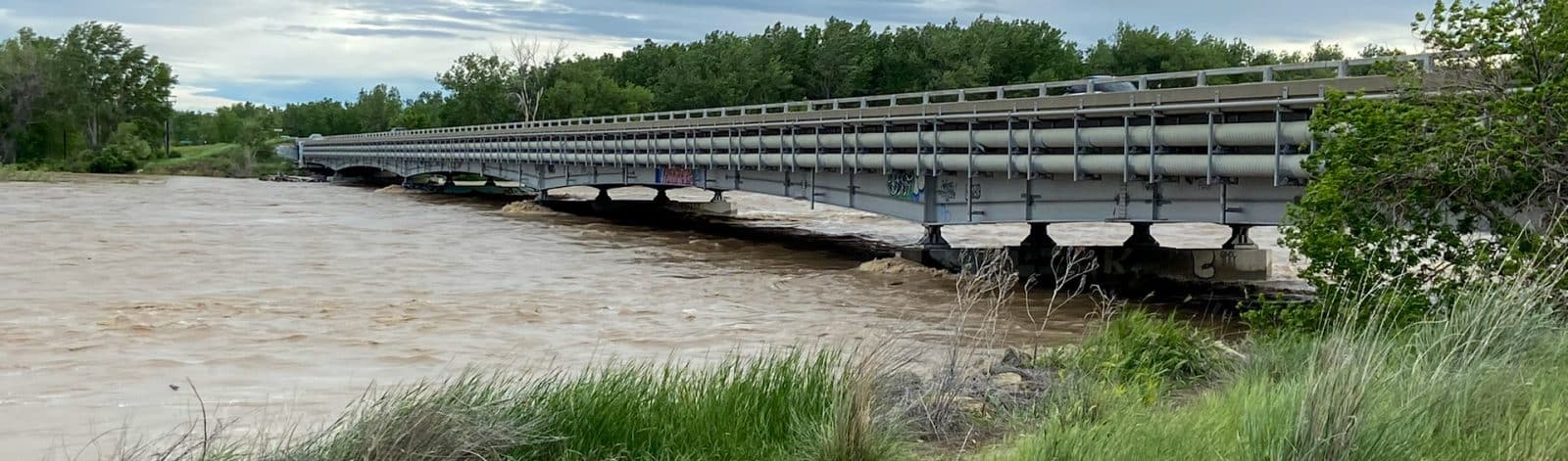
The devastating June 2022 floods destroyed homes, bridges, and roads in south-central Montana. We worked with Montana DNRC to produce updated flood maps of some counties affected by the disaster.
Information for Planning and Consultation (IPaC) Tool
The Information for Planning and Consultation (IPaC) Tool was created by the United States Fish and Wildlife Service to assist with planning and decision-making related to protected wildlife species and their habitats. We use it to determine whether our projects could affect endangered species so we can limit disturbances to animals and plants.
For example, if we are restoring a stream where migratory fish live, we need to ensure the fish can pass through while the stream is impacted during construction. We might build a bypass channel for the fish to swim upstream, or we might even move them by hand!
This tool also helps determine whether the project could indirectly impact important flora and fauna nearby. Thus, when defining the project area using this tool, we delineate all areas that could be affected by runoff, noise, dust, or other factors. For example, nesting eagles can be disturbed by construction noise up to a half mile away, so we may schedule construction to avoid nesting season.
When should I use this tool?
Applying for grants and permits.
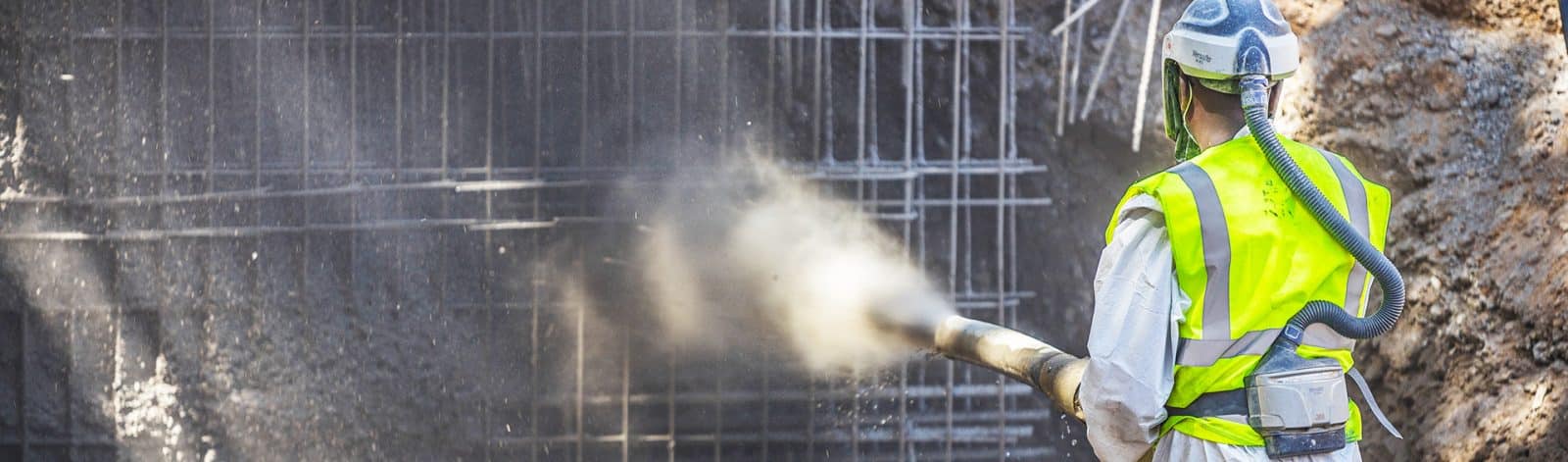
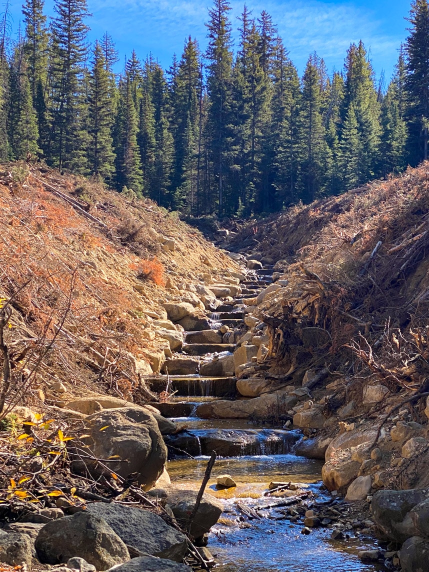
The Rattlesnake Dam removal Project restored 10 miles of habitat for native and threatened fish species and wildlife.
Wetland Mapper
The Wetland Mapper allows users to explore and map wetland areas across the United States. Developed by the U.S. Fish and Wildlife Service, it provides valuable information for environmental planning and conservation efforts by identifying and visualizing the distribution of wetlands.
When protecting wetland habitat during a restoration project, this geospatial resource is useful for development, planning, and management. This tool is intended for the public to interface with America’s wetland resources and gather current information on the status, extent, classification, and characteristics. Not only does it include a map-based inventory of wetlands in the USA, but it also includes riparian areas and deepwater habitats.
We use this tool as a starting place for deciding if a property has aquatic or wetland resources on it and help predict if any delineation will be required for permitting.
When should I use this tool?
Applying for grants and permits, buying property, project planning, environmental assessments, land management, and wetland research.
Former Rattlesnake Reservoir developed into approximately four acres of wetlands and natural floodplain features.
DEQ Clean Water Act Information Center (CWAIC)
The Montana Department of Environmental Quality’s (DEQ) Clean Water Act Information Center is a hub for information about water quality in Montana, particularly related to the Clean Water Act. It serves as a resource for citizens, researchers, and policymakers to support water quality improvement efforts.
This website’s Impaired Streams list is the best place to begin understanding the water quality issues in Montana’s streams and lakes. Understanding the causes of water quality issues is a crucial step in deciding the most appropriate approach to take on a project. Are flows low, and should we prioritize work that leaves more water in the stream? Is excess sediment a problem, and should we focus on treatments that reduce erosion?
We often help clients apply for grants to fund their water conservation, hazard mitigation, and natural resource improvement projects. This website provides data and insights necessary to compile competitive applications to grant agencies like FEMA, DEQ, DNRC, and the Department of Transportation.
When should I use this tool?
Grant applications and water quality master planning.
Ground Water Information Center
The Montana Groundwater Information Center is a resource that collects and provides information about groundwater in the state of Montana. It serves as a valuable tool for researchers, policymakers, and the public to access data and insights related to groundwater levels, quality, and usage for better-informed decision-making.
This interactive web mapping application displays all the permitted wells in Montana. The Montana Bureau of Mines and Geology (MBMG) maintains this database of well locations, depths, water levels, log data, and surrounding geology. We use these data to understand the groundwater resources of Montana, determining groundwater flow, planning, and monitoring.
When should I use this tool?
When buying or selling a home with a well, when doing maintenance on your well, permitting new wells, or if there is a risk of groundwater contamination.
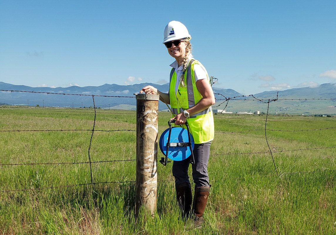
Collecting routine groundwater measurements at the Smurfit-Stone Mill Superfund Site.
What’s Next?
We hope this list of free tools helps you learn more about your local water resources and how to sustain them.
Although this list is a great starting point, it is not all-inclusive, and there are many more publicly available tools out there. Specific permitting regulations or project needs may necessitate more detailed analysis and professional guidance. At Morrison-Maierle, our team of natural resource engineers is always available to help you with your water resource needs or answer any questions you might have.
Learn more about our water management services