
Jocko Area Canal Conversion
Improving Irrigation Water
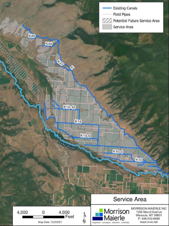
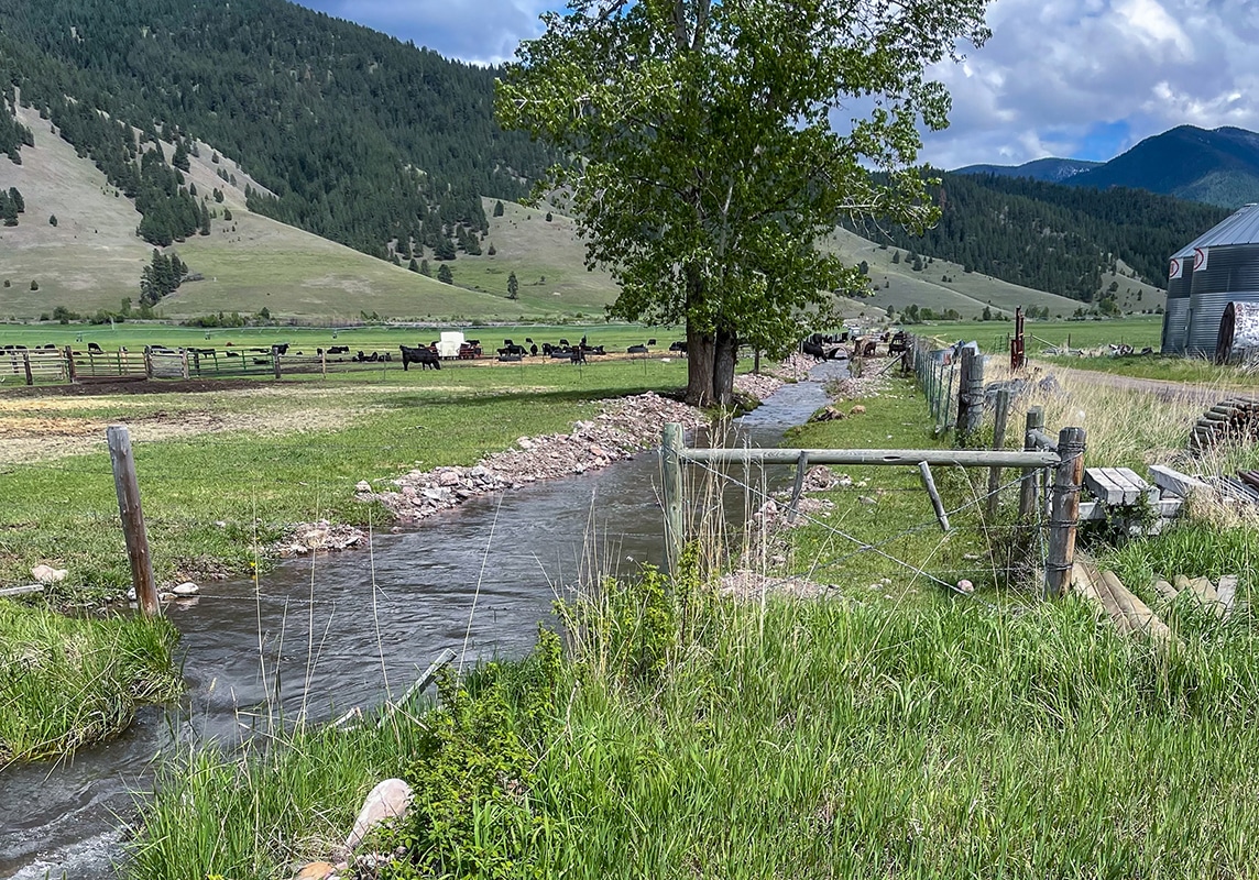
The Jocko irrigation service area north of the Jocko River is part of the Flathead Indian Irrigation Project near Arlee, Montana, in the Jocko Valley. Water is diverted from the Jocko River into the Jocko K Canal, which serves over 4,500 acres through a network of lateral and sublateral canals and several private pipelines. This area faces significant operational challenges due to a lack of flow measurement, flow control structures, and very high canal seepage rates.
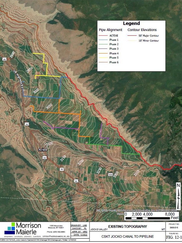
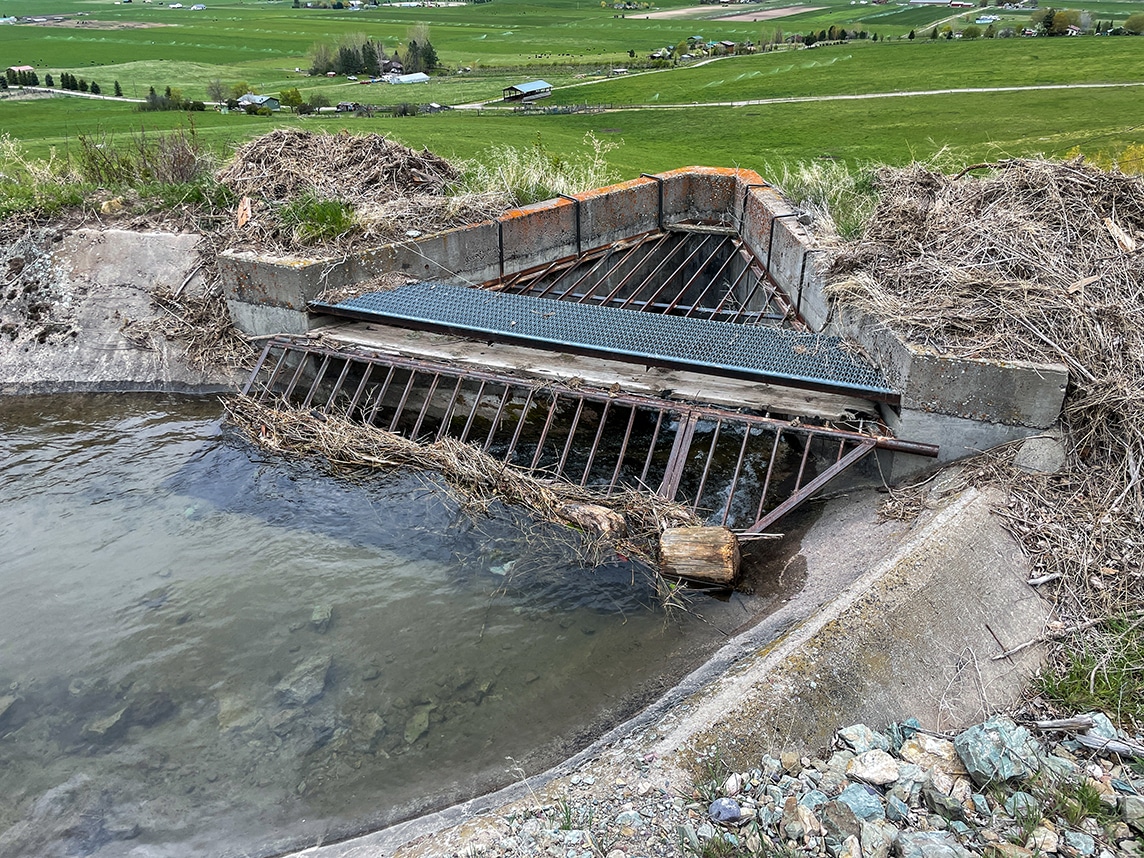
Morrison-Maierle designed the first two phases of the planned pipeline projects and is moving into design for the remaining three through six phases. The pipeline design comprised over 110,000 linear feet ranging from 48-inch diameter mains to 2-inch service connections. By converting the open channel canals to pipe, irrigators receive a pressurized delivery, allowing for the reduction or elimination of pumping costs. The design also included two canal intake structures, screening, valves, canal gates, canal level control, flow measurement, and other necessary appurtenances.
Services and Highlights
-
Canal conversion to limited demand pipelines.
-
Canal intakes modeled with 2D HEC-RAS.
-
Closed conduit hydraulic modeling.
-
Electrical engineering.
-
Environmental permitting, including a NEPA Environmental Assessment and riparian permits.
-
Facilitating public involvement, including hosting a two-day irrigator outreach event.
-
Large-scale regional water resource master planning.
-
Off-site data collection, including review of aerial photography, topographic maps/data, National Wetland Inventory maps, NRCS soils surveys, groundwater wells, ecological setting, land cover, noxious weeds, general wildlife/vegetation, and federally listed species.
-
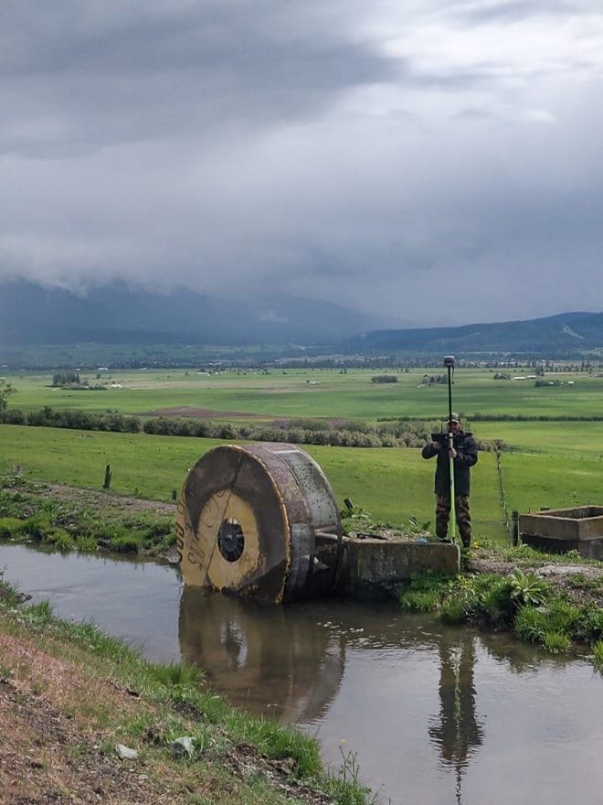
On-site data collection, including control survey, topographic survey, boundary survey, structure assessment, and wetland and waterway delineation.
-
Operation and maintenance plans of the proposed system, including drainage, air release, water delivery, and easements.
-
Project management services.
-
Supervisory control and data acquisition (SCADA) analysis and design.
-
Tribal and federal staff coordination.
-
US Fish and Wildlife Service coordination.
Restoring Tribal Fisheries
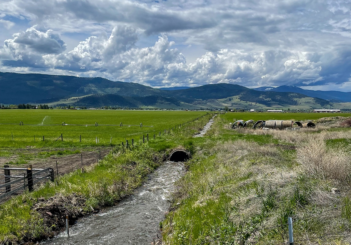
Historic irrigation ditches operate inefficiently, leading to more water diversion than is necessary, which in turn affects fisheries. CSKT pursued the Jocko Canal Conversion project as part of the CSKT Montana Water Rights Compact to restore tribal fisheries by optimizing water diverted from the Jocko River for irrigation and increasing flows in the river.
While these ditches have been used to deliver water to farms and ranches for over 100 years, modernizing the system improves water efficiency, irrigation services, and fishery health.
Collaborative Design to Create a Win-Win Situation
Morrison-Maierle initially used a master planning process to identify priorities for modernization, select promising technologies for a proposed system, and solicit input from stakeholders. We collaborated extensively with CSKT, the BIA, and local landowners to design the final pipe alignments and delivery infrastructure. Our staff of environmental scientists and engineers also worked with CSKT and the BIA to obtain the required environmental permits.
This solution simultaneously solves two major problems. By increasing instream flows in the Jocko River, we were able to help restore degraded habitats for native and threatened fish species while improving the overall health of the river. At the same time, these upgrades improve irrigation efficiency and reliability central to the local agriculture industry.
Learn more about our work with sovereign tribal nationsRelated Projects

Allendale Canal and Fish Screen
Allendale Canal and Fish Screen is part of the Flint Creek Water Project, owned by the Montana Department of Resources and Conservation (DNRC) and operated by the Flint Creek Water Users Association.

Bitter Root Irrigation District Siphon
The Bitter Root Irrigation District siphon improves a steel pipeline that delivers surface water from Lake Como to the ditches and canals in the eastern side of the Bitterroot Valley.

Oregon Creek Stream Restoration
Morrison-Maierle’s Oregon Creek Stream restoration project designed and used an advanced monitoring technique to create 1,400 lineal feet of new stream channel and four acres of new floodplain.