Oregon Creek Stream Restoration
Changing the Status of Sediment
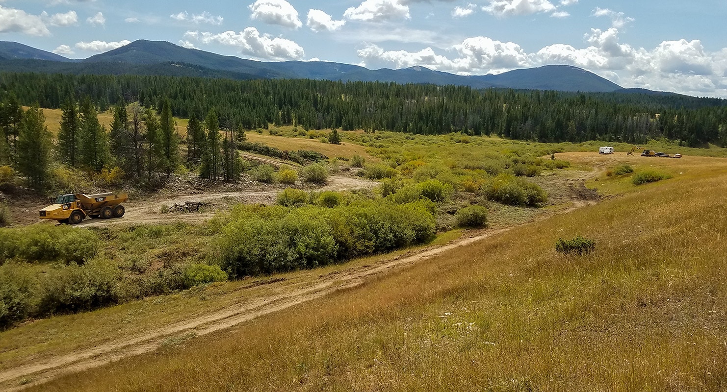
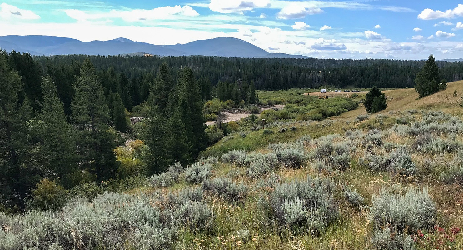
Oregon Creek is a headwater tributary that feeds into the Big Hole River and is approximately 12 miles southeast of Anaconda in the Mount Haggin Wildlife Management Area. It extends downstream from the Highway 569 crossing to the confluence with California Creek.
Oregon Creek is listed on DEQ’s List of Impaired Waters for lead, arsenic, copper, sedimentation/siltation, alteration in streamside or lateral vegetative covers, physical habitat substrate alterations, and other anthropogenic substrate alterations and physical substrate habitat alterations. Montana Fish, Wildlife and Parks (FWP) identified the project’s reach for restoration due to the continued degradation of wetland and riparian functions as well as other habitat impairments.
Services & Highlights
-
Grant planning
-
Site investigation
-
Drone survey
-
GPS survey
-
Wetlands delineations
-
Permitting
-
Engineering design
-
Bidding
-
Construction oversight

Adjacent placer piles straightened and incised the stream channel, preventing it from accessing its floodplain. The condition of the riparian vegetation around the project area was also a testament to its degraded state. Conifers sat perched above a sometimes deeply incised stream, which is an indication of historic downcutting and lack of floodplain function. FWP also identified this reach as poor fish spawning habitat due to the low-quality pools and gravels, the result of a straightened and steepened stream condition.
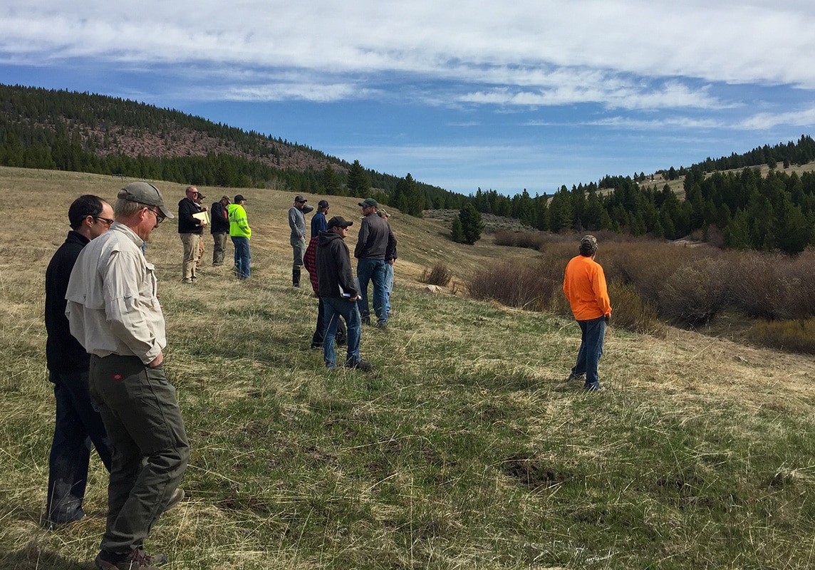
Prior to 2018, the Big Hole Watershed Committee (BHWC) had a remediation plan in place that became cost-prohibitive. They contracted Morrison-Maierle to perform a reach-level geomorphological reconnaissance, wetland delineation, and a topographical survey. Morrison-Maierle identified a reference reach on which to base restoration design parameters and desired conditions. This section is just downstream of the project reach and had little to no degradation impacts and improved beaver and other aquatic life habitats.
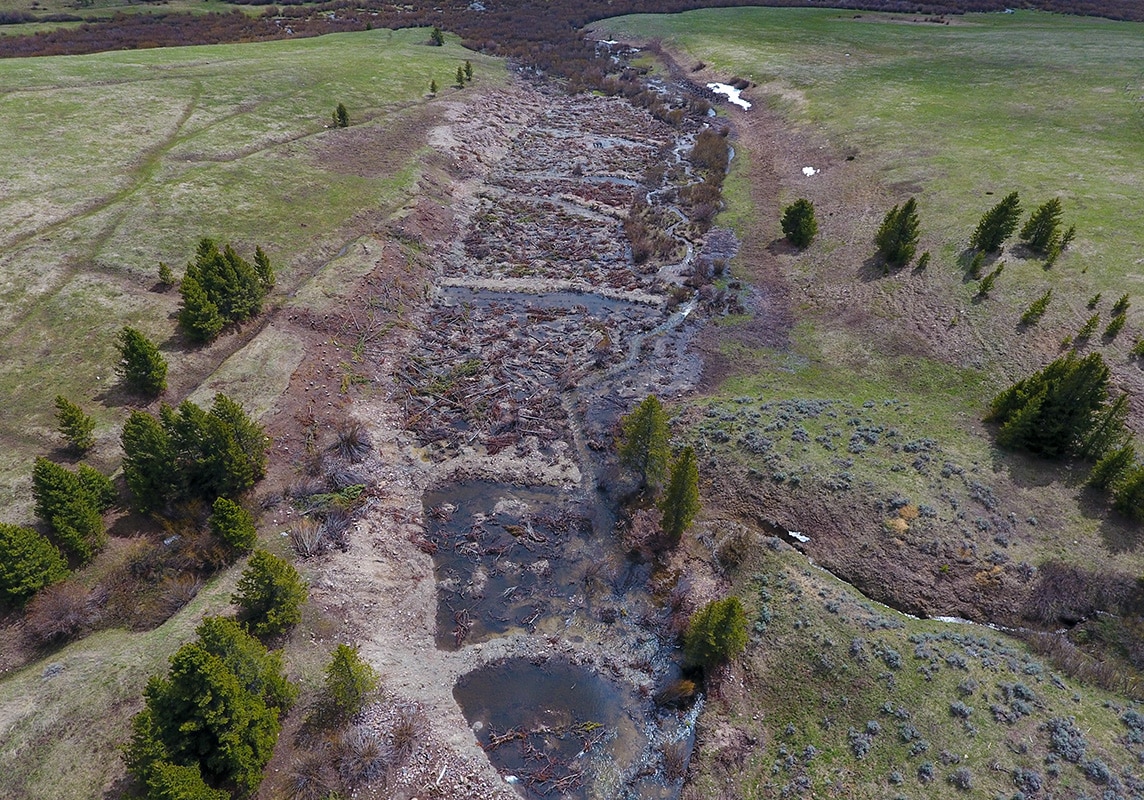
The project incorporated the installation of eight machine-made floodplain enhancement structures. These “detention ridges” now function similarly to natural beaver dams—catching sediment while slowing water during high flows—thereby improving habitat for wildlife. Morrison-Maierle also made use of onsite materials, eliminating the need to purchase and bring anything other than equipment to the site for construction. This reduced costs without changing the project goals.


Four Restoration Strategies
In order to make this project function, Morrison-Maierle identified four strategies to restore the stream, riparian, and wetland functions in the mining-impacted reaches of Oregon Creek. The design needed to:
- Increase channel sinuosity and decrease channel slope.
- Decrease channel entrenchment and increase floodplain connectivity.
- Increase riparian and wetland habitat.
- Eliminate channel head cutting and revegetate eroding streambanks.
Oregon Creek has a relatively straight channel caused by previous mining activities. Morrison-Maierle determined if the channel were lengthened, it would increase the sinuosity and decrease the slope which would allow for the deposition of smaller gravels and would ultimately improve fish habitat. As a result of this new design, the area is now conducive to Westslope Cutthroat Trout and Arctic grayling spawning.
The existing riparian and wetland habitats were limited along much of the channel reach due to entrenchment and lack of access to the floodplain. In order to improve the riparian and wetland habitats, Morrison-Maierle’s design excavated the floodplain, moved the channel away from the existing placer tails, and converted the existing channel into wetland habitat. As a result, streamside shading has increased the natural storage capacity of the floodplain which will help support late-season flows. In addition, restoring the riparian buffer reduced the potential for sediment and metals to enter Oregon Creek, which will ultimately improve the water quality.
Finally, Morrison-Maierle’s restoration activities also reduced sediment loading by eliminating channel head cutting and addressing streambank erosion. Using bioengineering techniques, the team’s design realigned the channel around the head cut and new streambanks were built to help control erosion.
Related Projects

Allendale Canal and Fish Screen
Allendale Canal and Fish Screen is part of the Flint Creek Water Project, owned by the Montana Department of Resources and Conservation (DNRC) and operated by the Flint Creek Water Users Association.

French Gulch and Moose Creek Restoration
The French Gulch and Moose Creek Restoration Project restored over four miles of stream and floodplain on public land that had been extensively mined in the 1800s.

South Ponds Remediation
The South Ponds Remediation project returned the site to its natural condition and reduced the need for future operation and maintenance tasks in the Flathead River floodplain.